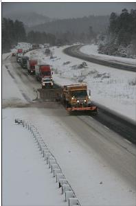
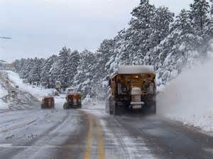
If you are planning a trip over the mountain to Prescott from Jerome today, take a 4-wheel drive, chained up. With Mingus Mountain sporting 2 feet of fresh snow and a stronger storm on it’s way, the weather is going to become dicey. Please, if you do not need to travel, stay at home!
From the National Weather Service:
With two winter storms forecast to blanket Arizona’s high country with as much as 24 inches of snow between Thursday and Saturday, motorists should be prepared for hazardous driving conditions, delays and possible highway closures – and consider delaying travel during the worst weather.
 The National Weather Service forecast calls for the first storm to reach the state late Thursday, with a colder, more powerful storm moving in Friday evening through Saturday morning. Snow levels will drop to about 5,000 feet Thursday and as low as 4,000 feet Saturday morning. The heaviest snowfall is expected over the Mogollon Rim and areas above 7,000 feet in Yavapai County. That includes areas from Flagstaff to Forest Lakes, Mingus Mountain and into the White Mountains.
Gusting winds are expected from both storms, meaning windblown snow on top of the heavy accumulation could create dangerous driving conditions. Slide-offs and crashes in severe weather cause traffic backups and lead to highway closures.
The Arizona Department of Transportation’s nearly 200 snowplows and 400 certified snowplow drivers are ready to deal with snow and ice, and ADOT’s website offers tips for driving in the rain, in wind that reduces visibility and around snow and ice.


